
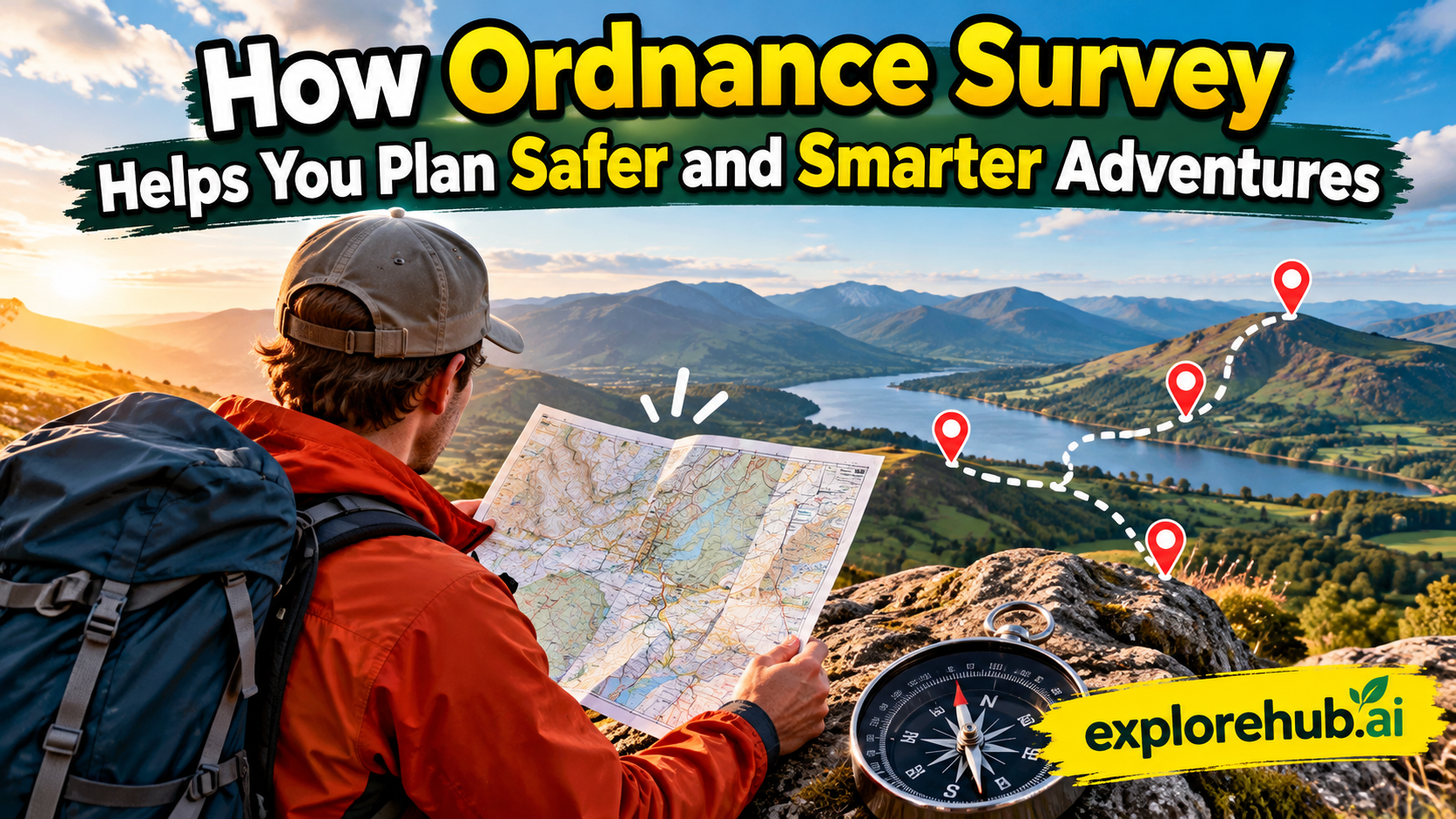
Outdoor adventures can be exciting, refreshing and memorable, but good preparation can make the difference between a great day and a difficult one. Whether you are planning a countryside walk, mountain hike, cycling trip or family day outdoors, knowing where you are going and what you may encounter is important. This is where Ordnance Survey (OS)can become one of your most useful planning tools. Its detailed maps provide information about paths, terrain, roads, landmarks, elevation and other features that help you understand an area before you arrive. OS Explorer maps are designed for detailed outdoor activities, while OS Landranger maps cover larger areas with less detail. The digital OS Maps service adds route planning, downloadable maps, navigation tools and other features that can make preparation easier. The real benefit is not simply having a map in your pocket. It is being able to make better decisions before and during an adventure. When you understand the landscape, estimate the distance, identify difficult sections and prepare a backup route, you are less likely to be caught completely unprepared. In other words, Ordnance Survey can turn an uncertain journey into a more informed adventure.
Table of Contents
- Why Adventure Planning Matters
- What Is Ordnance Survey?
- Choosing the Right Ordnance Survey Map
- Understanding Terrain Before You Leave
- Key Features of Ordnance Survey
- Planning Walking and Hiking Routes
- Using OS Maps for Cycling Adventures
- Finding Footpaths and Rights of Way
- Using Digital OS Maps
- Why Grid References Matter
- Checking Distance, Time and Difficulty
- Preparing for Changing Weather
- Planning Around Hazards and Obstacles
- Benefits of Using Ordnance Survey for Outdoor Adventures
- Creating a Backup Plan
- Combining Paper and Digital Maps
- Making Family Adventures Safer
- Planning Smarter Solo Adventures
- Practical OS Map Planning Checklist
- Common Mistakes to Avoid
- Conclusion
- Frequently Asked Questions
Why Adventure Planning Matters
Planning an outdoor adventure does not mean removing all the fun or spontaneity. Instead, it gives you a better idea of what you are walking into. A route that looks short on a screen can become much more demanding when it includes steep climbs, rough ground, rivers, exposed ridges or complicated navigation. This is particularly important when you are travelling with children, inexperienced walkers or people who are not used to challenging terrain. A map allows you to think about these factors before you start rather than discovering them halfway through the journey. You can identify potential stopping points, check access routes and consider where you could shorten or change your journey if conditions become uncomfortable. Safer adventure planning is really about managing uncertainty. You cannot control the weather, ground conditions or every unexpected event, but you can prepare for several possibilities. Ordnance Survey maps help by giving you a detailed picture of the landscape. When that information is combined with sensible clothing, navigation skills, weather checks, food, water and communication, you have a much stronger foundation for an enjoyable trip.
Turning Excitement Into Preparation
Imagine choosing a hiking route simply because someone posted an attractive photograph of it online. The photograph might show a beautiful viewpoint, but it does not tell you how steep the climb is, how long the route takes, whether the path crosses difficult ground or where you can safely turn around. This is where detailed mapping becomes valuable. Before leaving, you can look at the route from several angles and consider whether it matches your ability, available time and equipment. You can also identify landmarks that can help you recognise your position as you travel. The aim is not to predict every step perfectly. Instead, it is to build enough knowledge that you can adapt when circumstances change. This mindset is useful for beginners and experienced adventurers alike. A well-planned route can still include exploration, unexpected discoveries and changes of direction. The difference is that those decisions are made from a position of knowledge rather than guesswork. That makes the adventure feel more controlled without taking away the sense of discovery that makes outdoor activities enjoyable.
What Is Ordnance Survey?
Ordnance Survey is Great Britain’s national mapping organisation and is widely associated with detailed maps used for navigation, outdoor recreation and geographic information. Its leisure mapping products are particularly useful for people who want to explore the countryside. OS Explorer maps use a 1:25,000 scale, meaning 4 centimetres on the map represents 1 kilometre on the ground. They are designed for activities such as walking, hiking, running, off-road cycling, horse riding and other outdoor pursuits. OS Landranger maps use a 1:50,000 scale, covering a wider area with less detail and making them useful for longer journeys and broader route planning. Modern OS Maps also brings mapping into a digital environment, allowing users to explore locations, find routes and create their own plans. This combination of paper and digital mapping gives outdoor users flexibility. You might use a digital map at home to build a route, then carry a paper map as a backup when travelling. The important point is that OS mapping is not simply about finding roads between towns. It is designed to help people understand the landscape itself, which is exactly what you need when your adventure takes you away from familiar streets.
Why OS Maps Are Trusted by Outdoor Explorers
Detailed mapping is valuable because outdoor navigation often depends on information that ordinary road maps do not show. A countryside route may involve a footpath, bridleway, open-access area, stream, woodland, contour changes and isolated landmarks. Missing one of these details can change how you approach the journey. OS Explorer maps are especially useful because they show features such as footpaths, rights of way, contours, campsites, car parks and other outdoor information. Digital OS Maps extends this experience with route planning and downloadable content. The service can also display different mapping layers, helping users view an area in ways that suit their planning needs. However, a map should be treated as a planning and navigation aid rather than a guarantee that a route will always be safe. Paths can change, access can be restricted, weather can transform terrain and conditions can develop quickly. OS itself advises users to exercise judgement when using suggested routes. That is an important principle: a good map improves your decisions, but it does not replace them.
Choosing the Right Ordnance Survey Map
Selecting the right map is one of the easiest ways to improve your preparation. If you are planning a detailed walking route, the OS Explorer range is usually the more suitable choice because its 1:25,000 scale provides more detail. You can examine footpaths, terrain, contours and local features more closely. For cycling trips, longer journeys or situations where you need to see a broader region, OS Landranger at 1:50,000 may be more appropriate. The larger coverage means you can see more of the surrounding area on one sheet, although some detail is reduced. Your choice should therefore depend on the type of adventure rather than simply buying whichever map looks most familiar. Consider how much ground you need to cover, how detailed your navigation needs to be and whether the route includes complicated terrain. Digital mapping can also make this decision easier because you can zoom between areas and inspect routes before committing to a paper map. For serious outdoor trips, there is nothing wrong with using both scales. A Landranger map can help you understand the wider journey, while an Explorer map can provide the detail needed for specific sections.
Understanding Terrain Before You Leave
One of the biggest advantages of a detailed topographic map is that it helps you understand the shape of the land. A route may appear straightforward when viewed only as a line between two points, but the landscape underneath that line matters. Contour lines provide clues about elevation and slope. Lines packed closely together generally indicate steeper terrain, while wider spacing indicates a gentler slope. This information can influence your route choice, estimated walking time and equipment decisions. For example, a short route with several steep climbs may be much harder than a longer route across relatively level ground. Terrain can also affect the energy you need, especially when carrying a backpack. By studying contours before leaving, you can identify major climbs and descents rather than being surprised by them. This is one of the clearest examples of how a map can make an adventure smarter. You are not simply asking, “How far is it?” You are asking, “What kind of ground will I cover?” That second question often gives you a much more realistic understanding of the journey.
Using Contour Lines and Elevation
Contour lines are especially helpful in hilly and mountainous areas. If your route repeatedly crosses tightly spaced contour lines, expect steeper sections and allow more time. You can also compare alternative routes and choose one that better matches your experience. This does not mean avoiding every climb. Sometimes the steep section is the reason you chose the adventure in the first place. The benefit comes from knowing it exists. Elevation information can also help you prepare clothing and water supplies because higher ground may experience different conditions from valleys and lower areas. When planning with digital mapping, an elevation profile can provide another way to understand the route. Together, distance and elevation give you a more realistic picture of physical difficulty. Think of the route as a story: distance tells you how long the story is, while elevation tells you how demanding some of its chapters might become.
Key Features of Ordnance Survey
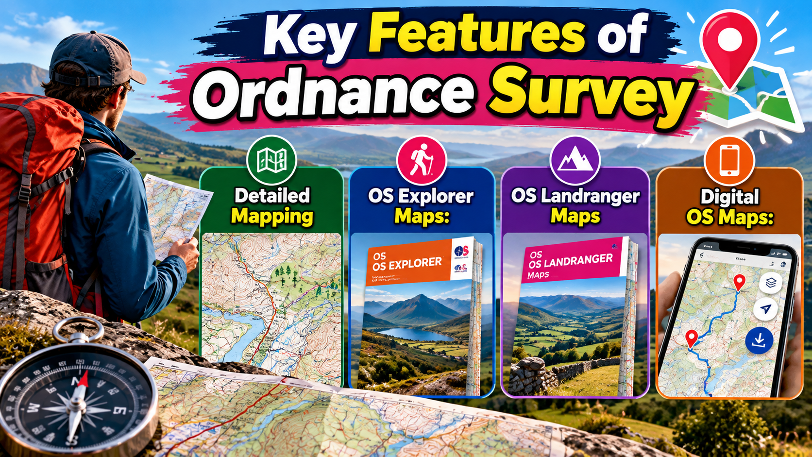
- Detailed Mapping: Provides highly detailed maps of Great Britain for walking, hiking, cycling, and outdoor exploration.
- OS Explorer Maps: 1:25,000-scale maps designed for detailed outdoor activities and countryside navigation.
- OS Landranger Maps: 1:50,000-scale maps covering larger areas, suitable for longer journeys and broader route planning.
- Digital OS Maps: Allows users to view maps, create routes, save journeys, and plan adventures online or through mobile devices.
Planning Walking and Hiking Routes
Walking is one of the easiest outdoor activities to begin, but route planning becomes increasingly important as distance and terrain become more challenging. Before setting out, consider the starting point, destination, total distance, elevation, path type and likely stopping places. OS Maps can help you find existing routes or create your own, while paper Explorer maps provide detailed information for countryside navigation. Route planning is also a chance to decide what happens if you become tired earlier than expected. A circular route may have different exit options from an out-and-back route, and a long linear journey may require transport planning at both ends. If you are hiking in unfamiliar terrain, identifying obvious landmarks can make navigation easier. You should also avoid assuming that a route shown online automatically matches your ability. OS states that route times are estimates based on typical conditions and do not necessarily account for your individual circumstances. Your pace, fitness, weather, terrain and stops all influence the actual journey. Good planning therefore leaves some flexibility rather than creating an unrealistic schedule where every minute is accounted for.
Using OS Maps for Cycling Adventures
Cycling routes require a slightly different approach because speed, road conditions and terrain become important factors. A route that is comfortable for an experienced cyclist may be unsuitable for a beginner, particularly if it includes steep gradients or busy roads. OS Landranger maps can be useful when planning longer cycling journeys because they cover a broader area, while digital OS Maps can help create and follow routes. The snap-to-path functionality in OS Maps can help users plot routes along suggested paths, tracks and roads, making route creation more convenient. However, automated route planning should not be treated as a substitute for checking the route yourself. You should inspect the proposed journey, consider traffic, surface type, gradients and potential restrictions, and make sure the route fits your cycling ability. It is also sensible to identify places where you can stop for food, water or repairs. A smart cycling plan is not simply the fastest line between two destinations. It is a route that balances distance, safety, enjoyment and practicality. That approach makes the journey easier to manage and leaves more energy for actually enjoying the ride.
Finding Footpaths and Rights of Way
For countryside adventures, understanding access is just as important as understanding geography. A route may look like a convenient shortcut on a general map, but you need to know whether a path or access route is appropriate for your activity. OS Explorer maps are particularly useful here because they clearly show footpaths, rights of way and other outdoor features. This allows you to build routes around recognised paths instead of relying on assumptions about where you can walk. It is also important to remember that access information and real-world conditions can change. Temporary closures, maintenance, weather damage or local restrictions may affect a route. Digital OS Maps includes community alerts and other information that can help users identify reported path conditions and obstacles. Still, responsible adventurers should verify important restrictions where possible. The best route is not necessarily the one that looks shortest. It is the route that you can legally and safely follow while matching your ability and plans. Understanding access also makes outdoor recreation more respectful because you are less likely to wander into unsuitable areas or create problems for landowners, wildlife and other visitors.
Using Digital OS Maps
Digital mapping has changed how many people plan outdoor adventures. Instead of spreading several paper maps across a table, you can search an area, zoom into specific paths and build a route from your phone or computer. OS Maps provides online and mobile access to detailed mapping, route planning and activity tools. Users can find existing routes, create their own routes and save mapping for later use. Digital tools are particularly helpful during the planning stage because you can quickly experiment with different options. Want a shorter route? Change it. Prefer a circular walk? Build one. Need to avoid a steep section? Compare another path. This flexibility makes planning less intimidating for beginners. At the same time, relying entirely on a smartphone can create problems if the battery runs out, the device fails or connectivity disappears. Digital mapping should therefore be part of a broader navigation strategy. Learn how the map works before you leave, save important information in advance and consider carrying a physical map when the environment or journey justifies it.
Offline Maps and Route Downloads
One of the most useful features for remote adventures is the ability to download maps and routes for offline use. Mobile signal cannot be assumed everywhere, particularly in mountainous, rural or remote locations. Having the relevant mapping stored on your device means you can continue accessing it when connectivity is unavailable. OS also supports saved routes and offline maps within its digital ecosystem. This provides an important layer of resilience. Before leaving, make sure the correct map area and route are actually available offline rather than assuming they will automatically load when needed. Charge your phone fully and, for longer trips, consider carrying a power bank. If navigation is important to the safety of your journey, a paper map and compass can provide another backup. Technology is extremely useful, but redundancy is even better. When one navigation method fails, another should still give you enough information to make a safe decision.
Why Grid References Matter
A grid reference can be extremely useful when you need to communicate a precise location. Ordnance Survey’s National Grid divides Great Britain into a structured system that allows locations to be identified using letters and numbers. Six-figure grid references can pinpoint a location to around 100 metres, making them useful when discussing meeting points, landmarks or locations with other people. Learning how to read and give a grid reference is therefore a practical outdoor skill. Instead of saying, “I am somewhere near the hill,” you can provide a more precise location. This becomes particularly useful when travelling in unfamiliar terrain or when coordinating with a group. Digital tools can also help by displaying your location and providing a shareable grid reference. However, understanding the underlying system is valuable because you are not completely dependent on one app. If your phone becomes unreliable, map-reading knowledge remains useful. A grid reference may sound technical at first, but once you understand the basic process, it becomes another simple language for communicating where you are.
Checking Distance, Time and Difficulty
Distance is one of the easiest things to calculate, but it is only one part of route difficulty. A five-mile walk across relatively easy ground can feel very different from a five-mile route with repeated steep climbs. Weather, path condition, navigation complexity and the weight of your backpack can also affect how quickly you travel. OS route-planning tools can provide estimated times, but these should be treated as estimates rather than promises. Your own pace matters. If you are walking with children, stopping frequently for photographs or travelling over difficult ground, you may take considerably longer. Before leaving, calculate enough time for breaks and unexpected delays. It is also wise to avoid planning an ambitious route that leaves no room for mistakes. A good adventure schedule has breathing space. If you finish early, you can enjoy the destination. If something takes longer than expected, you have time to adapt without immediately running into darkness or missing transport. Smart planning leaves room for reality.
Preparing for Changing Weather
Maps cannot tell you exactly what the weather will do during your adventure, so mapping should always be combined with a current weather forecast. This is particularly important in mountains and exposed countryside where conditions can change quickly. Before leaving, check the forecast for the actual area rather than relying only on conditions at home. Think about how rain, wind, heat, cold or poor visibility could affect your route. A path that is easy in dry weather may become muddy or slippery after heavy rain. Strong winds can make exposed ridges uncomfortable or dangerous, while poor visibility can make navigation harder. Weather planning should therefore influence route selection. You might choose a lower-level route when conditions are poor or shorten the journey when daylight and weather are limited. The goal is not to cancel every adventure because the forecast is imperfect. It is to make an informed decision about whether the planned route remains appropriate. A detailed map becomes much more useful when you combine it with current environmental information.
Planning Around Hazards and Obstacles
No map can remove every hazard from an outdoor adventure, but it can help you recognise where additional caution may be needed. Rivers, steep slopes, exposed ground, roads, railway lines and complicated path networks can all influence route decisions. Digital mapping may also provide community alerts about reported obstacles or path conditions. These reports can be useful because real-world conditions are not always captured perfectly by static mapping. Still, you should treat such information as an aid rather than a guarantee. Conditions can change after a report is made. When you identify a potentially difficult section, ask yourself whether there is a safer alternative. If not, consider whether you have the equipment, experience and weather conditions required to handle it. This is where good planning becomes a decision-making tool. You are not simply following a line on a map. You are evaluating the landscape and choosing how to interact with it. That mindset is particularly important for mountain routes, remote areas and adventures where help may not be immediately available.
Benefits of Using Ordnance Survey for Outdoor Adventures
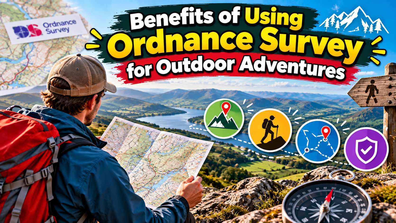
Ordnance Survey provides more than just basic directions. Its detailed maps help outdoor enthusiasts understand the landscape before starting their journey. By checking terrain, elevation, footpaths, roads, rivers, and landmarks, users can select routes that match their experience and fitness level. This can be particularly helpful when exploring unfamiliar countryside or mountainous areas.
Another major benefit is better preparation. A planned route allows you to estimate distance, identify difficult sections, find possible stopping points, and prepare alternative routes. Digital OS Maps also makes it easier to save routes and access mapping information when offline. By combining these features with weather forecasts and appropriate outdoor equipment, adventurers can make more informed decisions throughout their journey.
Creating a Backup Plan
A backup plan is one of the simplest ways to make an adventure safer. It does not need to be complicated. You could identify an alternative route, a shorter return path, a nearby road or a location where you can stop if conditions deteriorate. For longer journeys, consider transport arrangements, emergency contacts and alternative finishing points. When creating your main route in OS Maps, look beyond the highlighted line and study the surrounding landscape. Ask what options exist if you need to change direction. This can prevent a small problem from becoming a major one. For example, if rain makes one section unpleasant, knowing another path exists may allow you to continue without abandoning the entire trip. The same principle applies to fatigue. A route that looks achievable at the beginning may feel different several hours later. A backup gives you choices. Outdoor safety is often less about having one perfect plan and more about having several reasonable options.
Combining Paper and Digital Maps
Paper and digital maps should not be viewed as competing technologies. They can work extremely well together. A digital map is convenient for searching, measuring, plotting and adjusting routes. A paper map is valuable as a physical backup and does not depend on a battery or mobile connection. OS Explorer and Landranger maps can provide a dependable overview of the landscape, while OS Maps can help you prepare and store routes digitally. This combination is especially sensible for longer or more remote adventures. Before leaving, you can use your phone or computer to build the route, download the necessary map and identify key locations. Then carry the appropriate paper map and navigation equipment when the trip demands it. You should also know how to use the tools you carry. Having a compass in your backpack is not particularly helpful if you have never practised taking a bearing. The strongest navigation setup combines good information with basic skills. Technology makes planning easier, while traditional navigation skills provide resilience when technology is unavailable.
Also Read:
Temptation Experience (US): Pros, Cons, and Real Traveler Insights
Top Benefits of Using TravelloApp for Personalized Travel Planning and Exploration
Top Reasons Brands Are Choosing Pinn for Better Digital Transformation
The Rise of Boundary Supply, LLC: A Deep Dive Into Design, Quality, and Customer Experience
Top Reasons to Choose Baggallini for Lightweight and Stylish Travel Bags
Making Family Adventures Safer
Family adventures are often more enjoyable when the route is matched carefully to everyone’s ability. Children may have plenty of enthusiasm at the beginning but become tired quickly, so distance alone should not determine your choice. Look at terrain, steep sections, available stopping points and opportunities to shorten the route. An Explorer map can help you understand the area in greater detail and identify useful features such as paths, car parks and other facilities. Digital mapping can then help you create a route that fits your group’s needs. It is also helpful to explain the basic plan before leaving. Children can learn simple navigation skills by identifying landmarks, checking the direction of travel or following the route on a map. This turns safety preparation into part of the adventure itself. Instead of treating navigation as something adults handle in the background, you can make it an educational activity. The result is a family trip where everyone has a better understanding of where they are going and what to expect.
Planning Smarter Solo Adventures
Solo adventures can be rewarding because you have complete control over the pace and route, but they also require thoughtful preparation. When travelling alone, there is no companion to notice that you have taken a wrong turn, carry additional equipment or help if something goes wrong. A detailed map can therefore become an especially important planning tool. Before setting off, understand the route, identify difficult sections and know how you would return if conditions change. Save the route offline and consider carrying a physical map. Tell someone you trust where you are going when the trip is remote or demanding. Digital OS Maps allows route and activity information to be managed and shared according to the service’s available settings. You should also avoid relying entirely on estimated travel times. Leave enough daylight and energy to deal with unexpected delays. Solo navigation is not about being fearless. It is about recognising that you have fewer immediate resources and preparing accordingly.
Practical OS Map Planning Checklist
Before heading out, take a few minutes to review the whole journey rather than focusing only on the destination. Check the starting point, route length, terrain, elevation and likely stopping locations. Then consider access, weather and any known alerts or obstacles. If you are using a digital route, download the necessary map and route before leaving an area with reliable internet. Charge your phone and carry a backup power source for longer trips. If the journey is remote, take an appropriate paper map and compass and make sure you know how to use them. Share your plan with someone when appropriate, especially for solo or challenging adventures.
A simple preparation checklist can include:
- Choose the appropriate OS map, such as Explorer for detailed outdoor navigation or Landranger for broader route planning.
- Check contours and elevation rather than judging difficulty from distance alone.
- Review paths and access information before committing to a route.
- Check current weather conditions and consider how they could affect the terrain.
- Download maps and routes for offline use when using digital navigation.
- Prepare a backup route in case the original plan becomes unsuitable.
- Carry appropriate equipment, including navigation tools, food, water and weather protection.
- Tell someone your plans when the route is remote or particularly demanding.
Latest Posts:



Common Mistakes to Avoid
Even the best mapping tools cannot prevent poor decisions. One common mistake is assuming that a route recommended online will automatically suit you. Another is focusing only on distance while ignoring elevation and terrain. Some adventurers also rely too heavily on smartphone navigation and forget that batteries, screens and signals can fail. Others leave without checking the weather or access conditions. A particularly risky habit is treating the estimated route time as a fixed deadline. Outdoor travel rarely works that neatly. Your speed can change because of terrain, weather, navigation problems or unexpected stops. Another mistake is failing to look beyond the planned route. If you understand only the highlighted line and not the surrounding area, you may struggle when you need to change direction. The better approach is to understand the landscape as a whole. Use OS mapping to build awareness, not simply to follow instructions. When you know where you are, where you are going and what alternatives exist, you have much more control over your adventure.
Conclusion
Ordnance Survey can make outdoor adventures safer, smarter and more enjoyable because it helps turn the unknown landscape into something you can understand before you arrive. Detailed OS Explorer maps provide valuable information for walking and hiking, while OS Landranger maps offer broader coverage for longer journeys and cycling. Digital OS Maps adds route planning, saved routes, offline maps and other navigation features that make modern adventure preparation more flexible. Yet the greatest value comes from using these tools thoughtfully. A map does not guarantee safety, and an automatically generated route should never replace personal judgement. Weather, terrain, access conditions and individual ability still matter. The smartest adventurer is not the person who never changes plans; it is the person who recognises when a plan needs to change. By studying the terrain, checking conditions, preparing backup options and carrying suitable navigation tools, you can spend less time worrying about what might go wrong and more time enjoying where the route takes you.